June 24, 2016
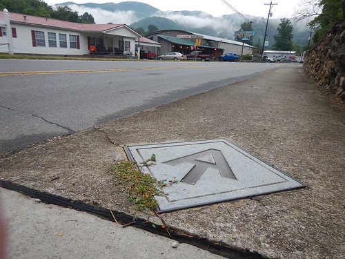
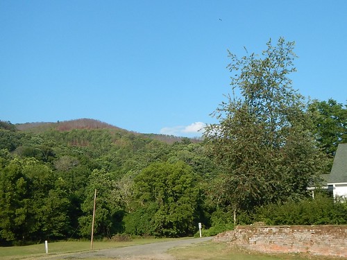
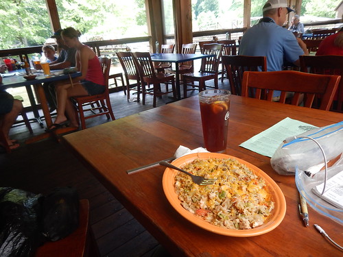
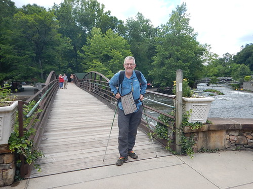
With fresh clean clothes, I followed the AT markers on the pavement to the Smoky Mountain Diner in Hot Springs, NC where I had endless cups of coffee along with one of my favorites: 2 eggs over easy with hash browns and two strips of bacon. I passed by the grits, chicken fried steak, biscuits with two types of gravy, and other southern breakfast specialties.
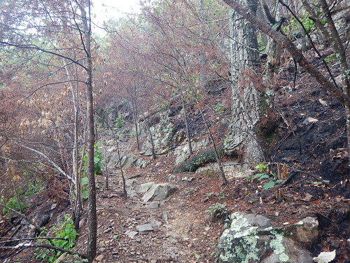
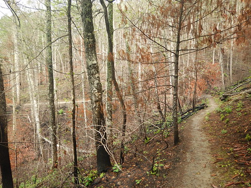
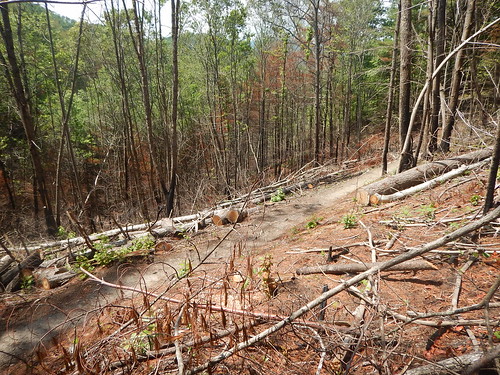
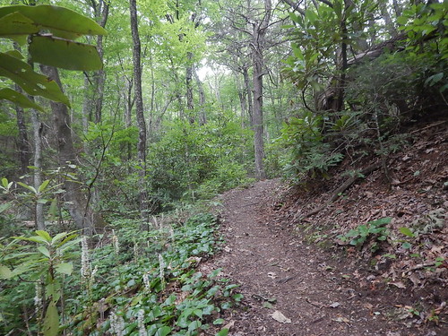
I began my hike up the side of the mountain to a point called Lovers Leap. The entire area was burned up along with another 4,000 acres. I would walk for 2 hours through this burn area and then another 2 where they had done some controlled burn of the understory of the forest.
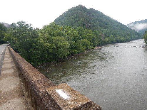
This was the worst fire they have ever had here, with the fire burning not only the understory but topping the trees and the winds blew the embers to start fires in other parts of the mountains. They had helicopter crews who drew buckets of water from the French Broad River. They also called in the California hotshot crews who would rappel down with their tools and chainsaws to quell this fire.
I began to think that maybe there was something else to do other than this boring walk. I guess my threshold for boredom on the trail was a lot more than Gary's who left after 6 trail days.
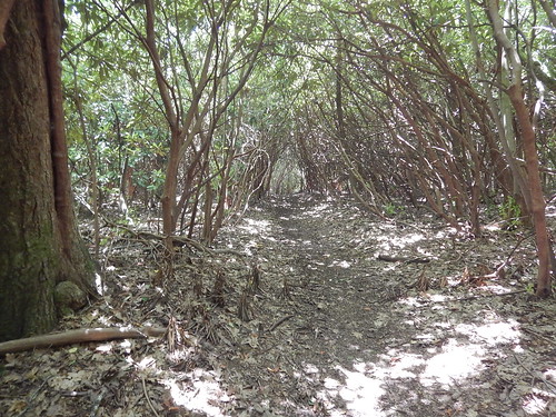
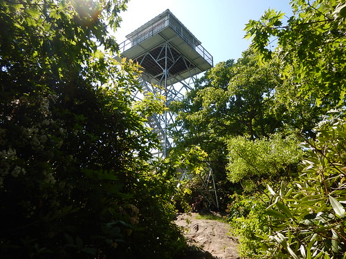
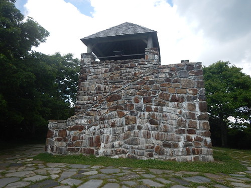
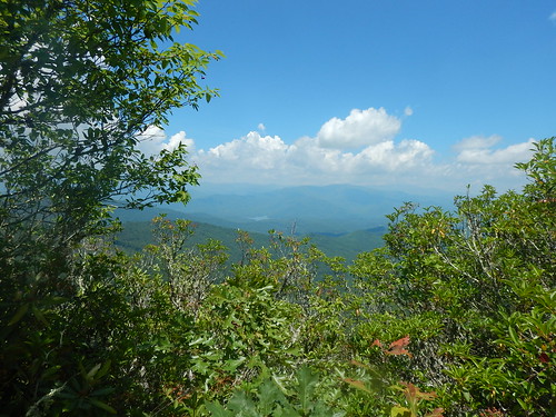
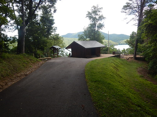
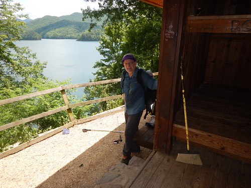
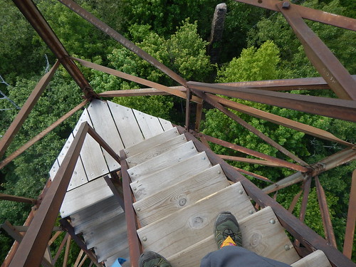
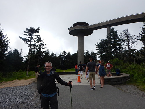
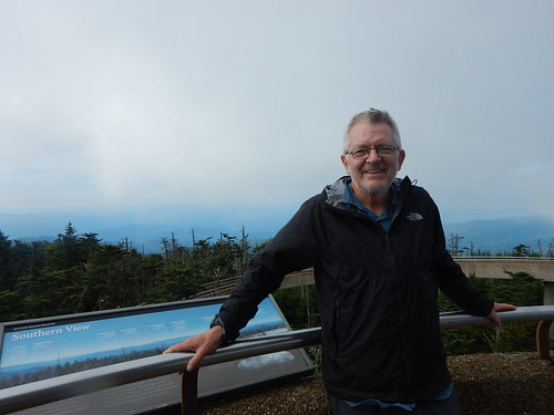
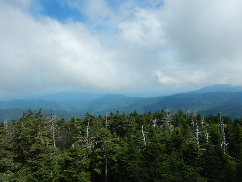
I had another view opportunity at the Rich Mountain Lookout tower---282 miles--early afternoon. With good views and interesting graffiti, I paused to take a few pictures before getting back in the "green tunnel".
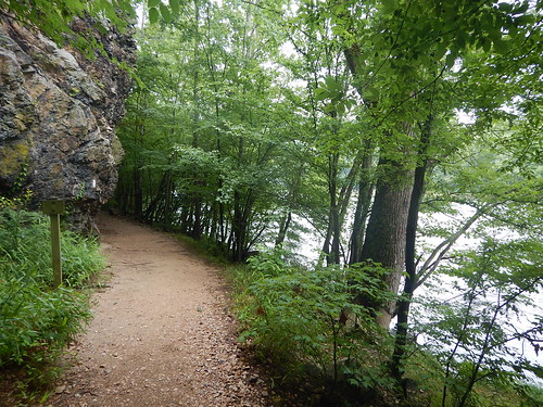
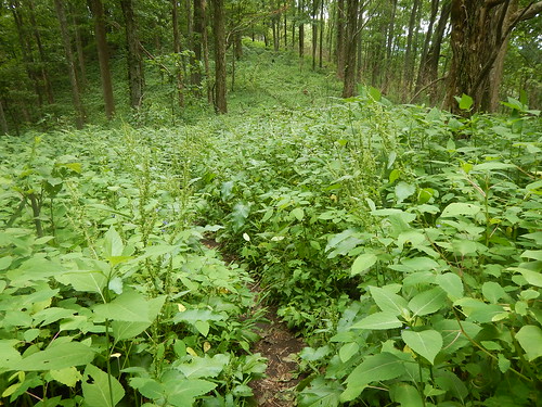
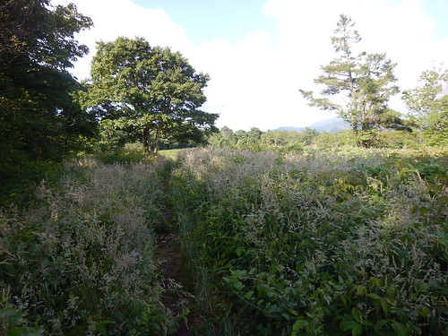
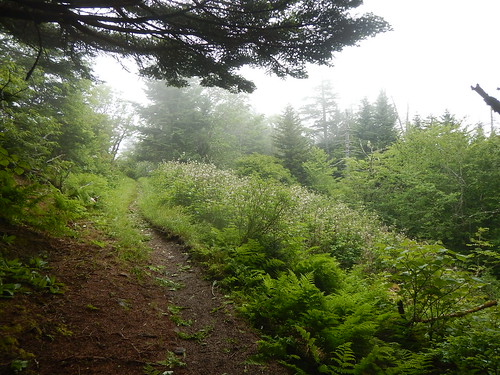
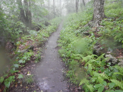
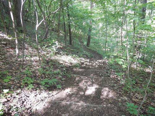
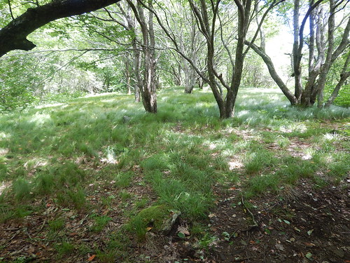
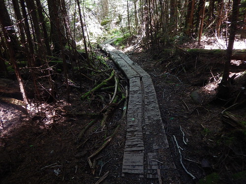
Here is a more intense green of the "green tunnel".
June 25, 2016
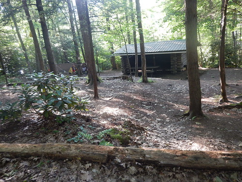
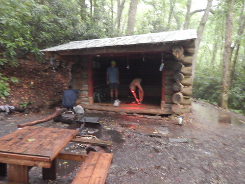
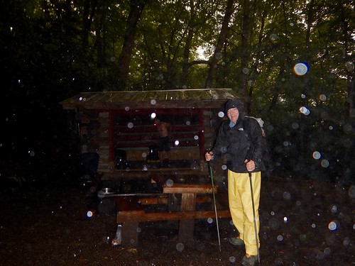
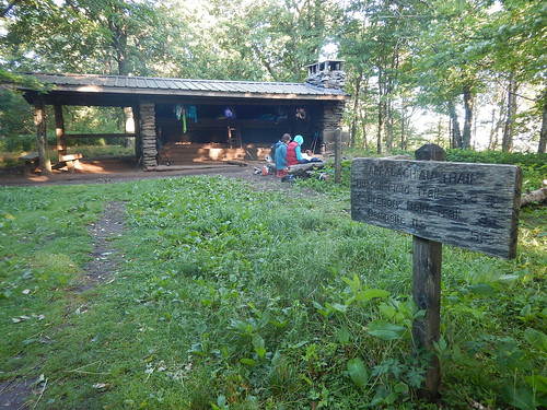
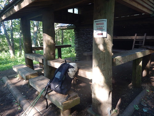
Sure enough, I was on my way for what would turn out to be my last hiking day--- a very long one at 24.3 miles and 15 hours. I left the shelter area at 3:50 am by navigating with my flashlight on moonlight in the early hours and spotting the familiar white blazes on the trees every tenth of a mile or so.
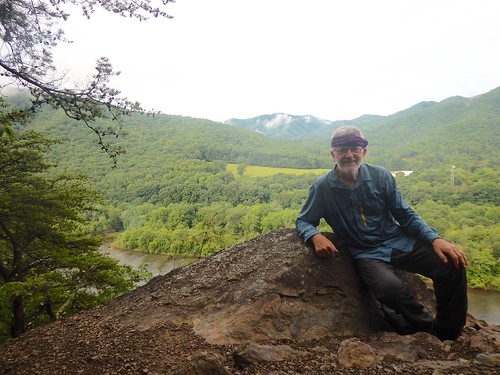
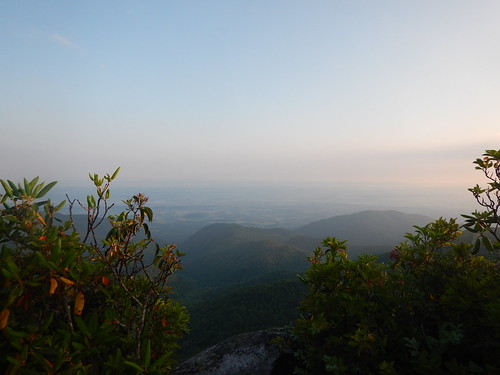
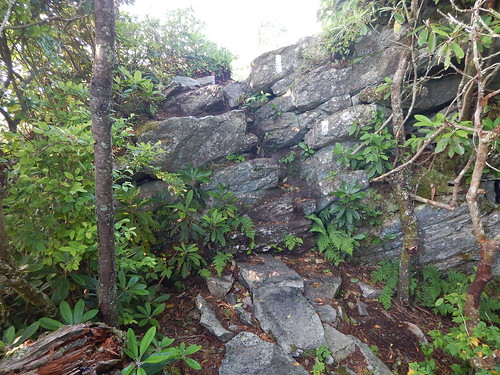
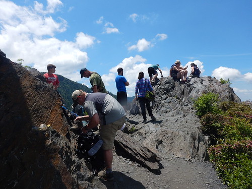
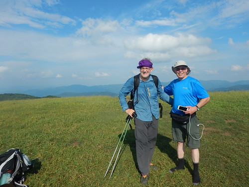
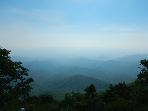
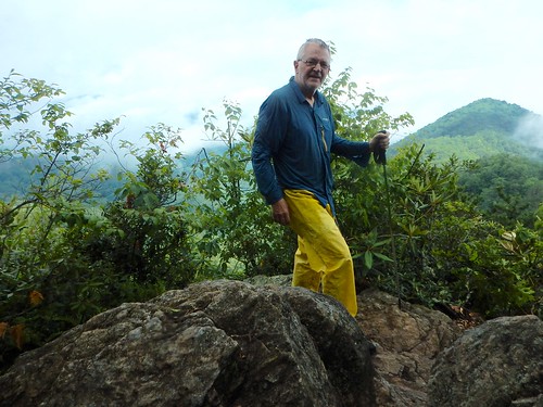
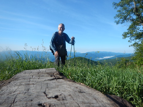
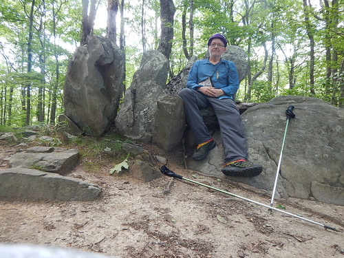
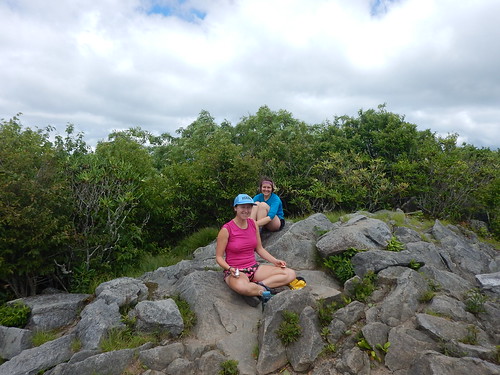
One of the best views of my journey was on top of the Big Firescald Knob----I wonder how that got named---just as at sunrise with the fog dispersing. Here I am with a plaque titled "Howard's Rock" named for a volunteer trail maintenance manager who had improved in developed miles of the AT over a 20 year or more period. A lot of work goes into maintaining the hiking trails throughout the US because the public agencies continue to lack funding for such projects.
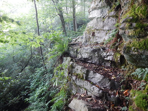
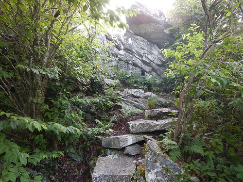
After a tortuous route up and down through the boulders, I headed down to the Jerry Cabin Shelter---300.1 miles---where I crossed the 300-mile mark on the AT, and also met up with a hiker with a trail name of Forgetful. He asked me if I had seen his solar charger on my way to the shelter. I hadn't so he continued up---I understood why he got his trail name. I would later hike with him throughout the day. He was faster than me uphill and I was faster down so we evened each other out as we joined up at the occasional water seeps. I think I have had about 4 to 6 liters of water a day.
I then continued up to the Big Butt Mountain---named because it is bare of trees?---and with the early morning dew, my shoes, pants, and shirt were saturated with water.
I left Forgetful at the Hogback Ridge Shelter---315.5 miles and made it up some more hills until it was down to Sam's Gap---317.6 miles. That seemed like the longest 2.4 miles I had ever walked.
When I saw the I-26 interstate, my thoughts of hitchhiking were dashed because the area was a long bridge spanning two hills with no room for pullovers plus a chain-link fence to dissuade hitchhikers.
I had two choices:
1. Continue hiking the remaining 14.5 miles to Erwin and Uncle Johnny's Nolichucky Hostel which would require an overnight stay somewhere along the way.2. Call Uncle Johnny's for a shuttle ride to his hostel. I chose this and was glad of it.
My shuttle driver, Gary Clark, showed up in about 35 minutes and took me on a twisty side road down to the hostel some 15 miles away for $30. Along the way, we spotted three deer and one was a doe with her still spotted gangly fawn. In addition to being my "Uncle Johnny Uber driver", Gary Clark also worked as a raft guide, a snowmaker, and a semiprofessional snowboarder who had won awards all over the east coast until an accident dislocated his shoulder, broke some ribs, and punctured one of his lungs.
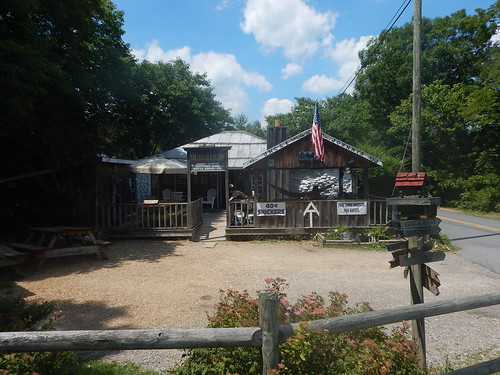
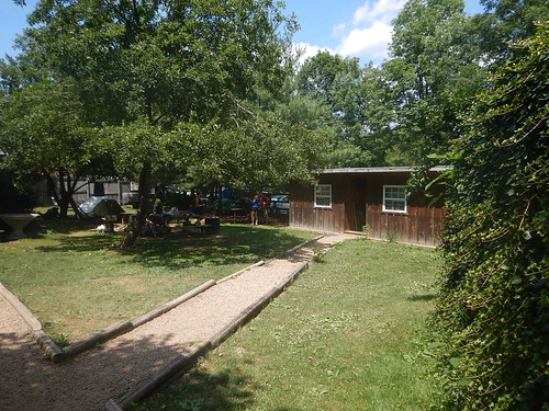
Uncle Johnny and his wife lived up to his trail reputation as an easygoing hippie lifestyle complete with a matching tie-dye tee shirt. He had a big Santa beard and preferred to offer cash discounts instead of credit cards.
My plans to take the Amtrak were eliminated because there was no nearby Amtrak plus the planned trip from Washington, DC to Seattle at $197 was no longer available. The current price was now $714 plus another $120 Greyhound bus ride to get to Washington, DC. On the other hand, a Delta flight was $576 or 32,500 miles. I picked the airline mode of travel for Monday.
After talking with Uncle Johnny, I decided it would be better to stay at his hostel another night rather than going to a hotel near the Tri-Cities airport. He would have a shuttle driver take me there tomorrow by 9--9:30am---a small airport with no long security lines he said for about $60. Plus, I still have my private room with Netflix and Kumo for entertainment if the other hikers aren't entertaining enough.
They offer free shuttles into Erwin town for breakfast and dinner so, at the Huddle House, I had a traditional southern breakfast of eggs, hash potatoes, toast, coffee, and chicken fried steak with pepper gravy. Locals say you can patch holes in walls with some of this gravy.
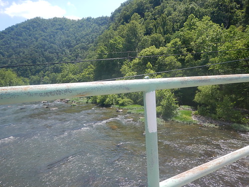
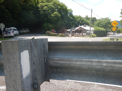
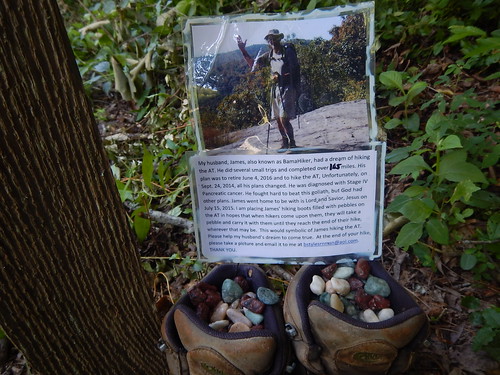
His spouse asked hikers to pick out a pebble and take a picture of it wherever your hike ended. So here it is right on the AT trail that crosses the Nolichucky River by Uncle Johnny's Nolichucky Hostel. I am sure that BamaHiker would have enjoyed the warmth and helpfulness of Uncle Johnny, his wife, and other AT hikers passing through this hostel.
Here is BamaHiker's green rock just above the white blaze of the AT trail as it crosses the Nolichucky River just across from Uncle Johnny's place.
