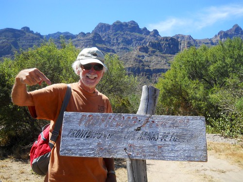
I was recently made aware that to access the hikes I have shown on my blog and described in the “Hiking Loreto” guide book, requires permission from the ranch owners of the land.
You can contact the president of Loreto Guide Association, Rodolfo Palacios Castro, for a guide to take you on these hikes because they have permission from the owners and are aware of the need to protect these fragile places. His Facebook site is:
Currently, the owner of the Las Parras Ranch along the road to San Javier Church sells passes to their property at the Pescador Grocery Store or Hacienda Suites. As time goes by, there may be more owners who do this.
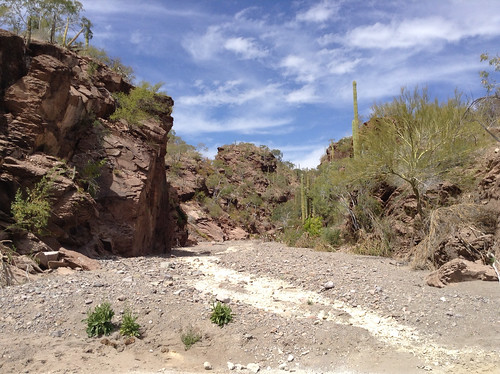
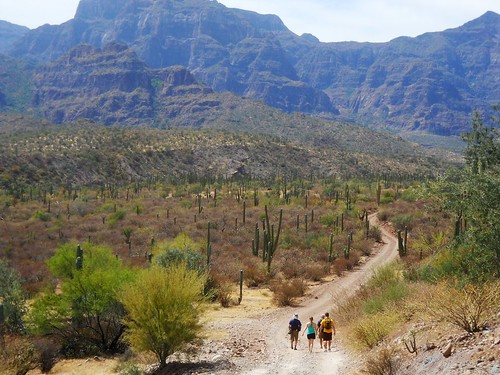
This is another hike featured in DeeDee and Dave Kelley''s "Hiking Loreto" book you can pick up at the Jackson Gallery located in the Loreto town plaza. We head north on the gravel road-arroyo closest to the Sea of Cortez for about 4 miles.
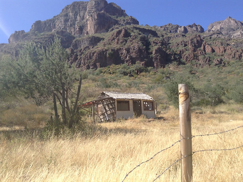
This parking place is just about a mile north of the fabulous Picazon Restaurant. Some of us plan to eat there after the hike. The path to the Doctors Bluff and Arroyos is well marked through the private property. The Mexican government requires public access to all seashores so we start along this narrow path through private property toward the Sea of Cortez, but only after our group shot.

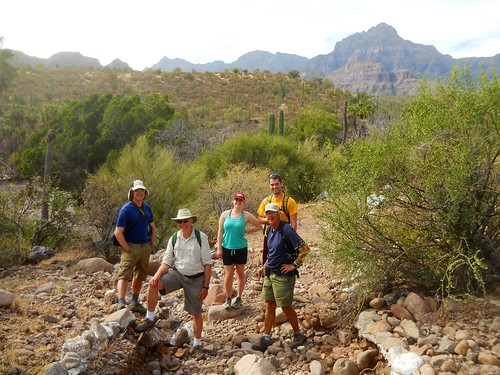
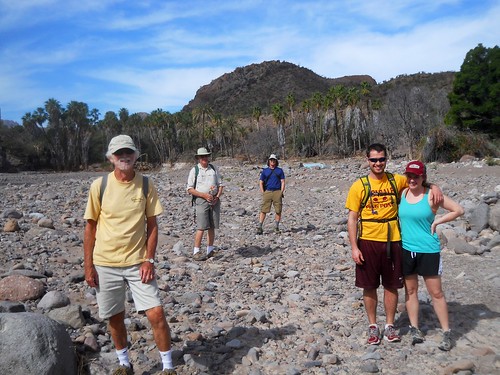
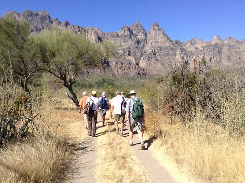
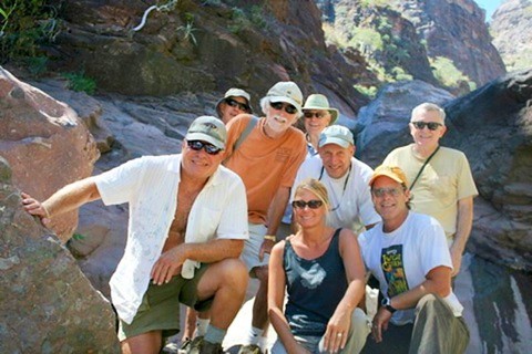
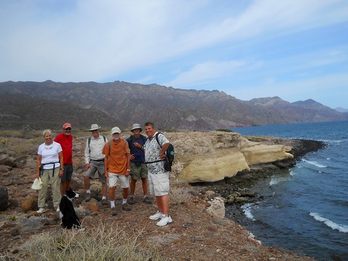
Our group includes: Lesley, John, Barry, Allan, Werner, Gary, me, and an eager Caley---ready to romp.

We were pleased to see that the trail was easy to find and follow on our way to the lighthouse.


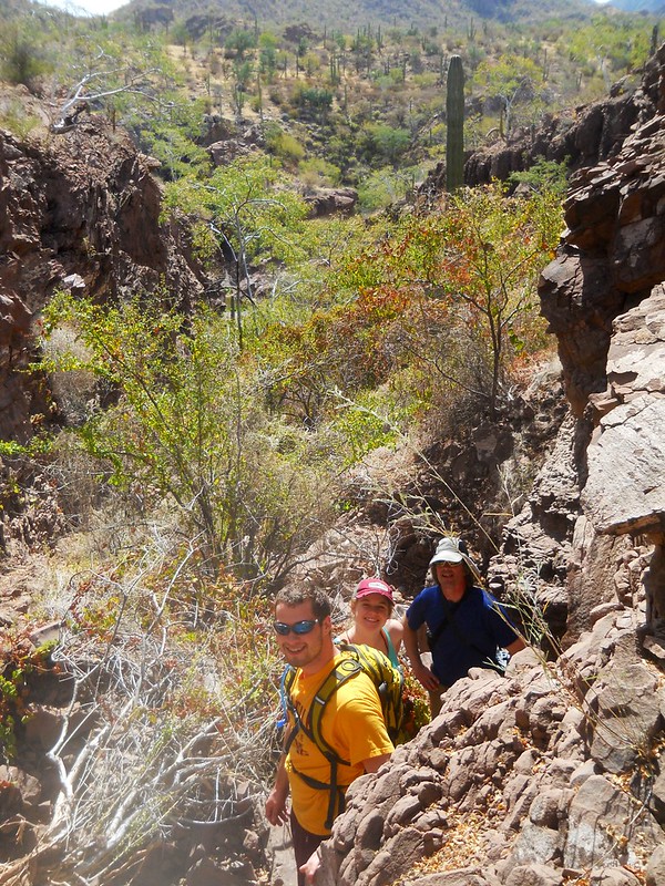
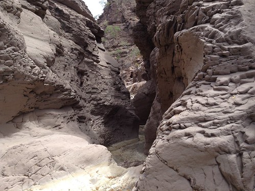
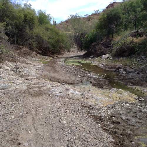
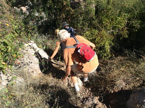
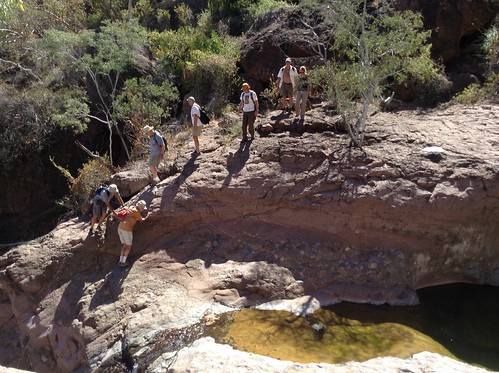
We are now climbing up our first arroyo after Caley has scrambled up several times while we were glad to make it once.

Caley takes another run-up this cliff with Lesley on all fours behind her.

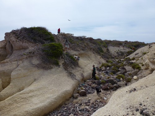
With Werner in the lead, we are really making time along the Doctors Point Bluff toward another challenging arroyo crossing.

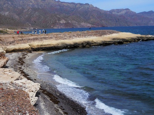
After this tough arroyo crossing, we were rewarded by reaching two small peninsulas. Here is the first one we are hiking by filled with cormorants.
Here is a view of where we have come from along the top of the bluff.

Another resting spot along the trail that highlights the limestone bluffs behind us.
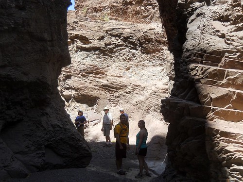
We stood around a bit deciding whether we wanted to press on past the fence and the very steep arroyo and we decided to turn around.

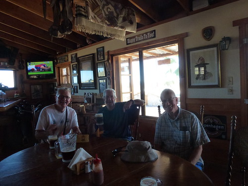
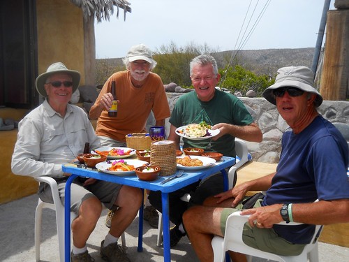
This fence defines the end of our hike because just beyond here is a huge arroyo which would require some serious scrambling down and back up. We figured that by turning around now, we would get back to our cars in time to have lunch at Picazon just as it opens at noon. I started savoring the Coquille de Coronado and a few glasses of wine or beer that awaited me.

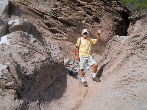
On our return, John and I decided to do a scramble up this limestone bluff rather than do a shore walk on the rounded pebble beach.
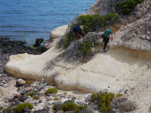
Some of these bluffs were like pieces of artwork.

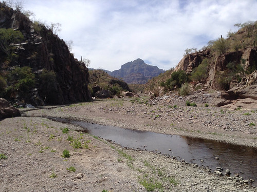
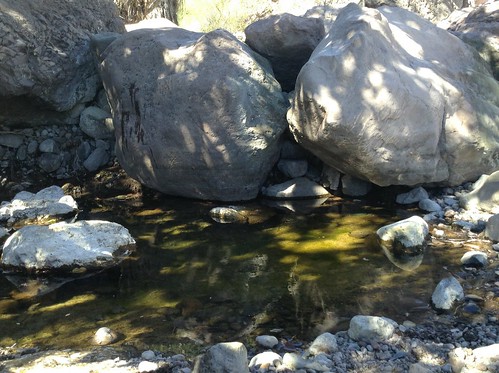
This is our last arroyo crossing on the way back.

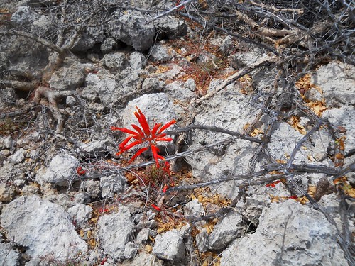
Survival in the Baja. These plants look dead, but the flowers show otherwise.
Thanks to Gary and John for some of these pictures.