Section C—San Gorgonio Pass to Cajon Pass at I-15—May 31-June 6, 2007
On May 31st, I continued my hike by going under the 6-lane I-15, power lines, multiple railroad tracks. and the cleft of the San Andreas fault that slashes through tied Cajon Canyon. I then headed over the hills to miles of the Mesa Wind Station. When I was there, the windmills were much smaller than the ones they now use.
Working my way past the assorted buildings of Cajon Canyon, I passed by a popular stopover for PCT thru-hikers called the Pink Hotel which was an odd collection of trailers amid a junkyard of cars and other debris.

I followed the trail until I came to the Whitewater River which was a boulder-strewn 1/4 mile wide river bed with a small flow of water. The guidebook mentioned a red outcropping I should go to and while crossing the boulder field I started veering further north and headed up the wrong canyon. I continued up this canyon and trail for about 3 hours until I decided that the map and the terrain did not match so I turned around back to the Whitewater River and the last PCT known location.

Once there, I camped for the night hoping that these 6 hours of being lost would not be repeated.

On June 1st, I realized my mistake and followed the large cairns with poles spaced across the boulder field of the Whitewater River. The trail continues up and down these dry, open valleys, and near the end of the day, I kept crisscrossing the Mission Creek to my campsite for the night at the confluence of the S and N Fork of Mission Creek.

Here I looked back at the White Water Canyon where I got lost for 6 hours.

It was mostly an uphill 16-hour hike of 19 miles with ascents of 4,025 ft and descents of 1,821 ft.
On June 2nd, I crossed numerous dirt roads during the day until I reached Onyx Pass where I saw lions, tigers and bears, and other animals in a compound. I was told these are animal movie actors. They did not look too happy caged up as they were.
At Onyx Pass I got a long hitch into Big Bear City where I stayed at Nature’s Inn Hostel with Stan, the owner. I enjoyed several large meals as well as a hot shower and a comfortable bed with clean sheets. Again I was issued “hiker towels” since we get them so dirty.
At Onyx Pass I got a long hitch into Big Bear City where I stayed at Nature’s Inn Hostel with Stan, the owner. I enjoyed several large meals as well as a hot shower and a comfortable bed with clean sheets. Again I was issued “hiker towels” since we get them so dirty.

On June 3rd, after a big breakfast, I got a quick hitch back up to Onyx Pass and began hiking at about 10 am with occasional views of Big Bear Lake and City. After hiking for about 11 hours, I arrived at the Van Dusen Canyon Road campsite. I had hiked 22 miles with ascents of 4,347 ft and descents of 3,910 ft.


On June 4th, I saw a number of off-road vehicles (ORV) on the roads that crossed and ran near the PCT which detracted from the wilderness experience. I crossed a high bridge over Deep Creek near the Deep Creek where I resupplied my water.

I then came to the Deep Creek gorge and saw these Tibetan prayer flags that were placed as a memorial to “No Way” Ray Echols who had slipped off this cliff and died while doing his first thru-hike with his wife, Alice, in 2006.

I had met him at a few of the annual American Long Distance Hiking Association-West (ALDA-West) where he was the Treasurer and Board member. Here is a tribute to him from the Pacific Crest Trail Association (PCTA): https://www.pcta.org/about-us/history/in-memoriam/ray-echols/
He also wrote a trail book of his experiences called: A Thru-Hiker’s Heart.

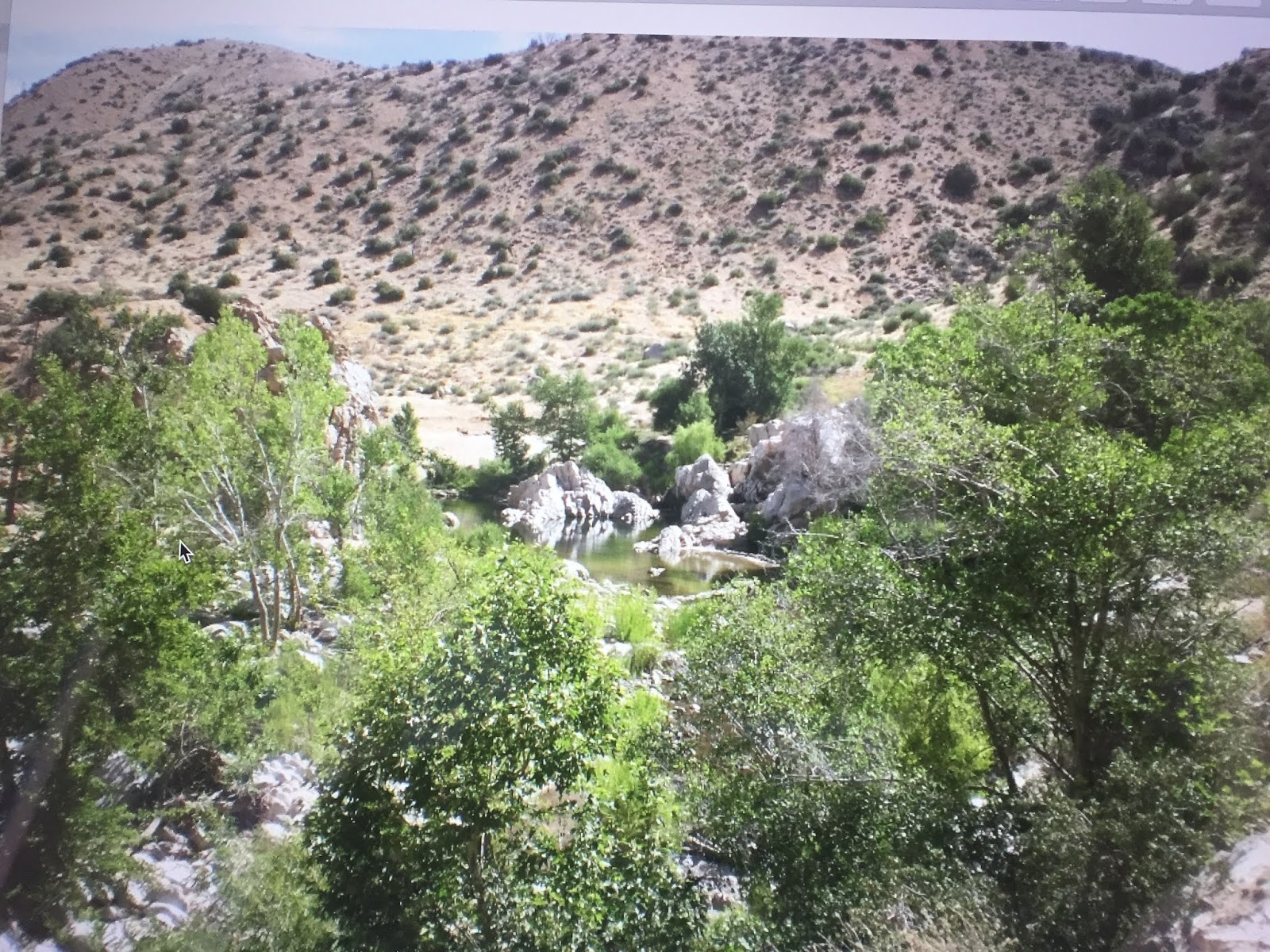
I continued along the trail until I came to Deep Creek at 9 pm where I spent the night. While there I enjoyed skinny-dipping in the hot springs found there in pools surrounded by boulders. I hiked for 15 hours and covered 34 miles.

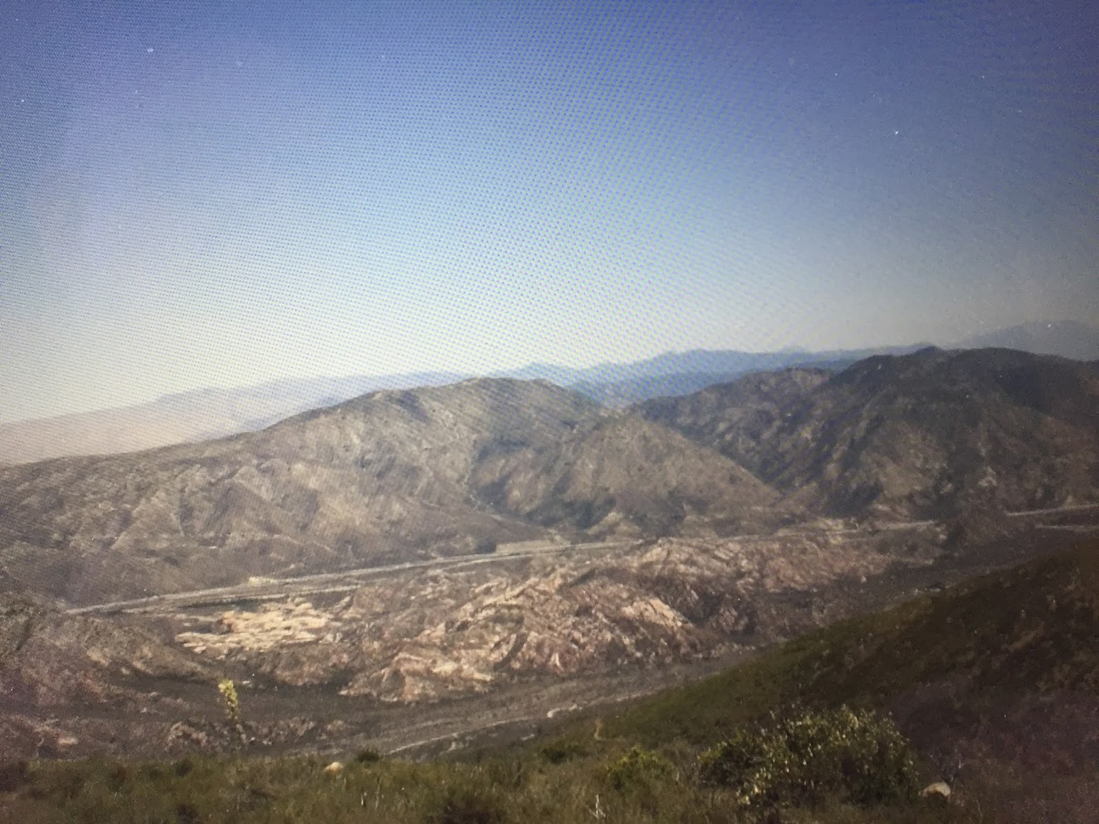
On June 5th, I quickly crossed the Mojave River Dam which was mostly dry rather than the overgrown PCT trail below the Dam and torn up by dirt bikes and ORVs.

When the PCT climbed over a ridge, I hiked a while with a thru-hiker named Joel—no trail name yet—until we got to Highway 173 where he bailed to resupply.

When the PCT climbed over a ridge, I hiked a while with a thru-hiker named Joel—no trail name yet—until we got to Highway 173 where he bailed to resupply.


The PCT in this section was on or crossed a number of roads until I got to Silverwood Lake—part of the California Aqueduct system—where I camped for the night. It was a 15-hour hike of 19 miles.
On June 6th, it would be a short day of hiking since I was keen to stay in a hotel at El Cajon along the I-15 freeway and have a few burgers and shake at the hiker popular Mc Donalds. I covered 12 miles in 6 hours with ascents of 2,503 ft and descents of 2,815 ft. Temperatures continue to get to the 90s during the day with constant winds of 12 to 15 mph—good for all of the windmills in the area.
I stayed at the ECONO-my Inn and enjoyed their pool and hot tub after washing my clothes in the tub and showering. Food and comfortable bed with A/C—how blissful.

Section D. Cajon Pass to Agua Dulce—June 6-11, 2007
On June 7th, I crossed over the San Andres Fault after filling up with water that would have to last me for the day until I got to the Guffy Campground, my camp for the night some 22 miles away. It was a 15-hour uphill hike of 22 miles with ascents of 6,388 ft and descents of 1,352 ft.

On June 8th, It was a near Zero-day as I passed a number of ski lifts above Wrightwood and then hitchhiked down to Wrightwood to resupply food and fuel before hitching back up to continue my PCT hike.
On June 9th, I returned to the Vincent Gap on Highway 2, to hike up a continuous string of switchbacks ascending about 1,900 ft that got me to the junction with the summit of Mount Baden-Powell—named after the founder of the Boy Scouts. I summited it at an elevation of 9,399 ft where this marker described this founder.


After returning to the PCT, I came across a group of Boy Scouts and their leaders who were on their last day of a 50-mile hike that would earn them a Boy Scout merit badge. They were a pretty raggedy bunch all strung out along the trail for over a half-mile.
Here is a flowering yucca plant that provides a good accent to the chaparral and sagebrush along the arroyos on the PCT.

I ended the day at Cooper Canyon Trail Camp some 31 miles and 14 hours with ascents of 6,716 ft and descents of 7,470 ft.
On June 10th, I hiked a very long 35 miles in 14 hours with ascents of 6,716 ft and descents of 7,470 ft to get to Messenger Flats after passing a number of dry valleys amid chaparral with scattered groves of oak and spruce.


On June 11th, I began dropping down over the next 13 hours and 24 miles to my Agua Dulce Hiker Heaven destination. The Vasquez Rocks followed by the Agua Dulce Canyon was a beautiful entrance to this trail town.

The Hiker Heaven, run by Trail Angels, Donna, and Jeff Saufley, was the best-known thru-hiker destination where they would launder your clothes, offer you a place to sleep, and join with other hikers and so much more.
According to the PCTA, they suspended operations in 2015, to lessen the impact of large groups of hikers concentrating in one area of the PCT. More recently they have tried to sell it or turn it over to an AirBnB type operation. This year it is unknown because all thru-hiking is prohibited because of the concern that the hikers will infect the isolated villages along the PCT with COVID 19.
Section E Agua Dulce to Highway 58 near Mojave—June 12-14, 2007
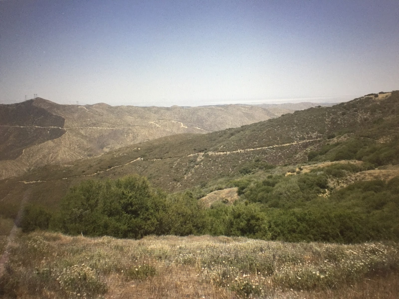
On June 12th, with fresh-smelling clothes, I did some road walk until I left the road for a trail that led up and down a series of hills and valleys covered with chaparral and smaller clusters of oak and spruce.
After hiking for about 14 hours, I came to this whimsical trail angel rest spot festooned with skeletons and coolers of soda and beer along with lawn chairs.
There was also an invitation to another trail angel host at a place called Casa Luna. Since I had just been at one, I decided to press on a bit and did some cowboy camping near San Francisquito Canyon Road as the sunset.


On June 13th, I decided to take the 25-mile alternative PCT short cut where I dropped down on the Hughes Truck Trail, past the small community of Hughes Lake, and down to the Fairmont Reservoir and hot, dry Antelope Canyon where I followed dirt roads to where it twice crossed the California Aqueduct, once open and the other in a large partially buried pipe.


I rejoined the PCT which had meandered west and then back east on the Tejon Ranch properties to the buried Aqueduct pipeline.


In the afternoon I came to the Cottonwood Creek/Bridge where several hikers were hiding out from the heat of the day—about 105 degrees. Shortly after I arrived some former thru-hikers stopped their car and brought us cold drinks and watermelon slices—the best watermelon I have ever had.

I stay until around 5 pm and then continued my hot journey across the Mojave Desert where I found myself resting in the slight shade of the Joshua Trees and doing some night hiking in the cooler temperatures.


It was difficult to follow the official switchback trails up the Tylerhorse Canyon because of all of the OTR vehicle tracks so I just navigated straight up one of the Tehachapi canyons to where I stopped for the night at the Gamble Springs Canyon campsite.
It was a 16-hour hike of 31 miles with ascents of 2,438 ft and descents of 4,895 ft. I carried 5 liters of water on this day.


It was a 16-hour hike of 31 miles with ascents of 2,438 ft and descents of 4,895 ft. I carried 5 liters of water on this day.
On June 14th, I was now hiking up in the scattered trees of the Tehachapi Range up to the 6,280 ft ridge top. I then headed down the Oak Creek Canyon to the sound of the whooping windmills that pocked the hillside. It was just a 10-hour hike of 20 miles and I carried 4 liters of water.

I continued to the Tehachapi Pass--some 562 miles from the Mexico border-- and hitchhiked to Mojave some 9 miles away on the Oak Creek Rd to resupply and stay at the White’s hotel with A/C and pool—hiker towels handed out. They also gave me a free ride back up to the PCT the following morning.
The next blog entry will be my entry into the Sierras which many hikers consider to be the most spectacular portion of the Pacific Crest Trail. I ended my 2007 Section trek at the Vermillion Valley Resorts after hiking 880 miles in 37 days.
The next blog entry will be my entry into the Sierras which many hikers consider to be the most spectacular portion of the Pacific Crest Trail. I ended my 2007 Section trek at the Vermillion Valley Resorts after hiking 880 miles in 37 days.
Subscribe to My YouTube Channel
I have recently uploaded all of my travel videos to YouTube now that they allow longer uploads and you may want to see my travel adventures there. That link is
https://www.youtube.com/c/huntforgold.
If you do go there, please subscribe to my video channel since it will help me eventually get some income there and help with my future travels.
No comments:
Post a Comment